Barter Buy Antiques
18th Century Map of Cape of Good Hope - 1726
18th Century Map of Cape of Good Hope - 1726
Couldn't load pickup availability
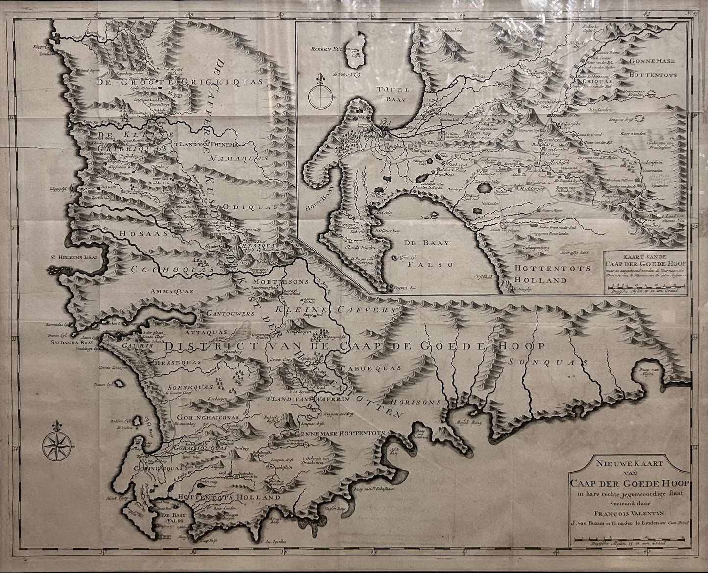
Nieuwe kaart van Caap der Goede Hoop : in hare rechte jegenwoordige staat
Published by J. van Braam
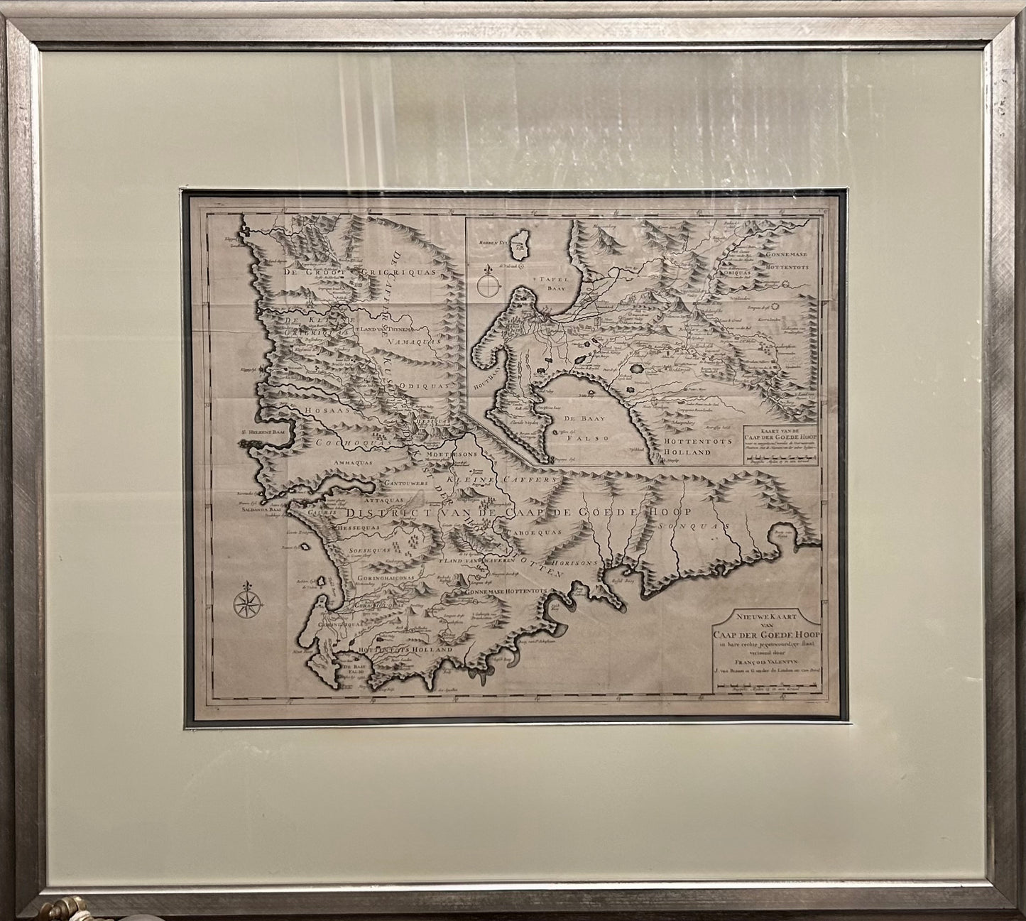
Size 45cm x 57 cm
Fine Chart of the Cape of Good Hope from an Important History of the Dutch in the East Indies
Nice example of Francois Valentijn's map of the area around Cape of Good Hope and Table Bay, from his Oud en Nieuw Oost-Indien, a significant history of the Dutch in Maritime Asia and one written with rare access to the Dutch East India Company (VOC) archives and information.
The larger map shows the Cape of Good Hope from the Doornbosch River to the Baay van Algoa (Algoa Bay). The smaller map provides a more detailed treatment of the area around the modern day Cape Town region from Robben Island to False Bay and east as far as Draakenstein.
The map records the expansion of the small Dutch colony eastwards to the Hottentot Holland Mountains an the region covered by Simon van der Stel's party (1685) on its journey to the copper mines in northern Namaqualand.
Share